AN3
Surveying and mapping
Description of the skill
The tasks of the professional demonstration are based on the Vocational Qualification in Surveying. The professional title of the degree is surveyor.
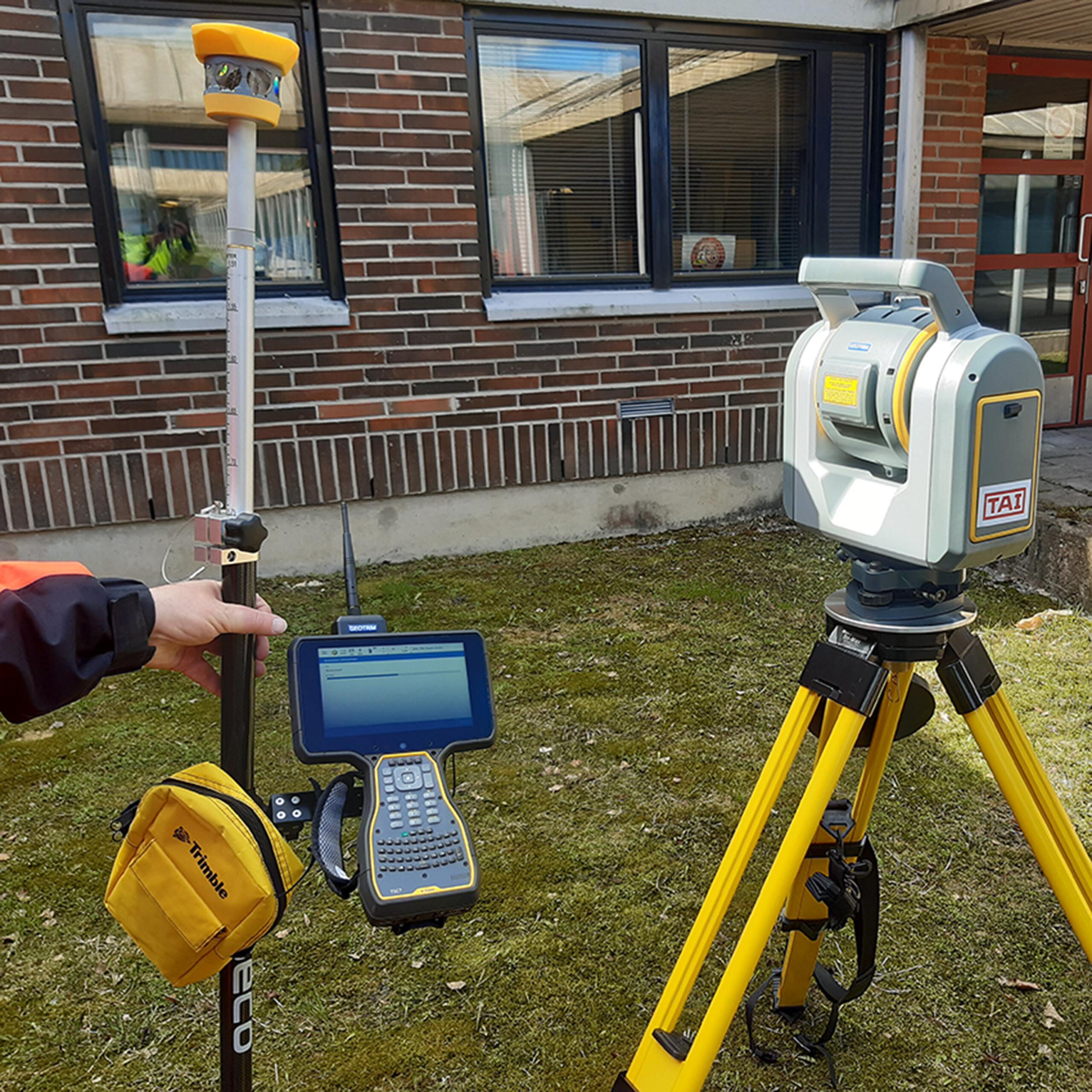
A surveyor works in varied tasks. They may work in private companies, municipal organisations or state institutions. The surveyor may work independently or lead a group taking measurements. The work tasks may be related to measurements in different work environments and the processing of measurements or data models. In addition to traditional measurement methods, data is increasingly produced by collecting point clouds with different methods and by utilising images taken with different tools.
Surveyors also carry out research and analysis tasks related to ground surveys. The surveyor’s tasks may be related to forming a property or the maintenance of many different registers. The surveyor’s tasks may be related to the production and maintenance of maps, map databases or target models from different source materials. The surveyor’s tasks may also include land use planning or the processing of spatial data.
The Vocational Qualification in Surveying provides the graduating surveyor with extensive basic vocational knowledge of the field. Due to its diversity, the vocational qualification in surveying is also a good basis for further studies in land surveying and construction sectors.
Skill competition managers

Matti Krusell
Skill steering group
- Harri Laiho, Turku Vocational Institute
- Hermanni Näätänen, Turku Vocational Institute

